The Challenge(s)


 To get yourself - on your bike - from Cape Point to Green Point. That's it.
And if you want an extra challenge, once you've had a coffee in Green Point, you can ride back to Cape Point again!
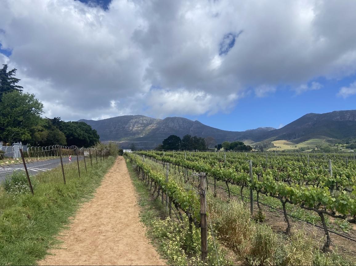
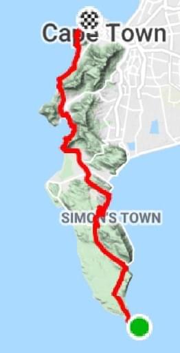
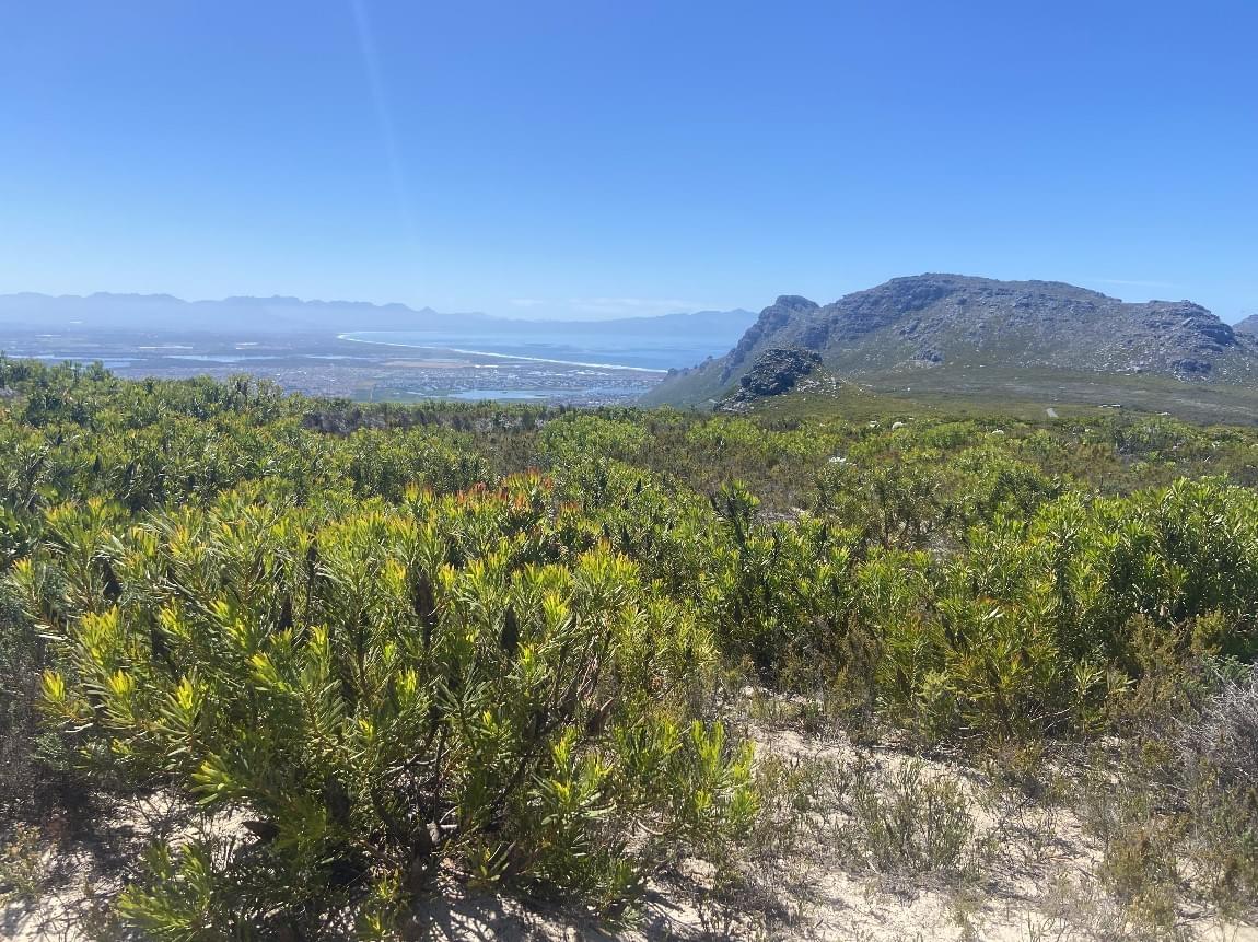
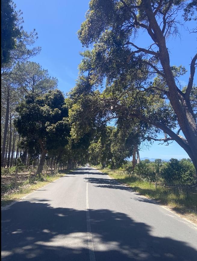
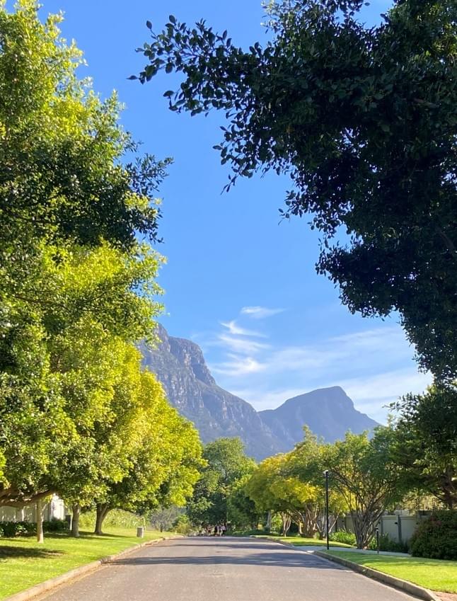
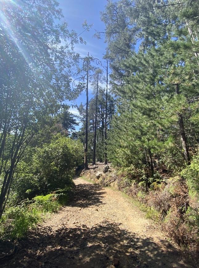
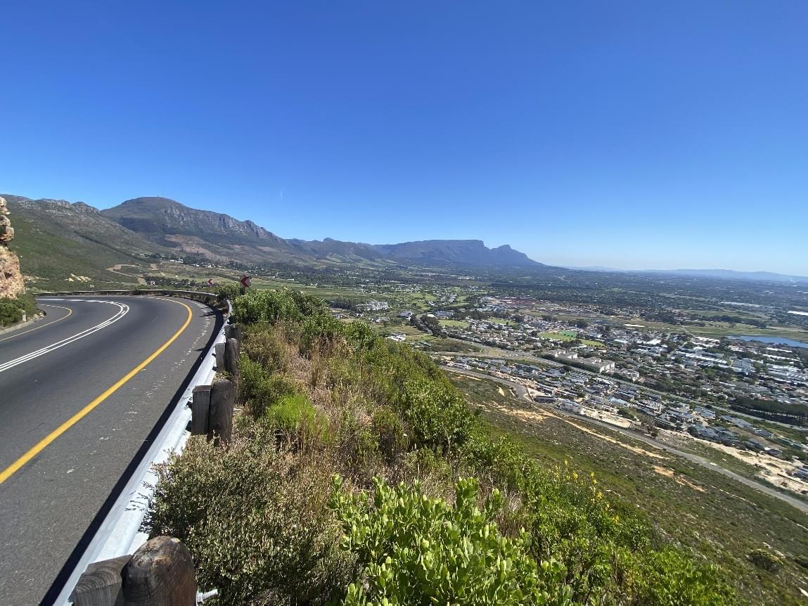
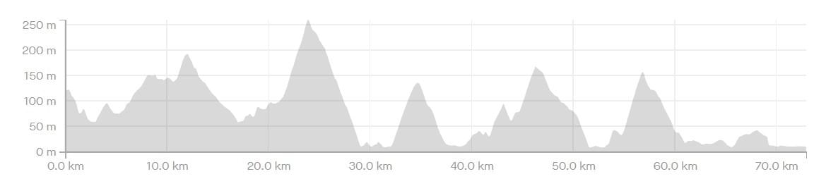
Seriously though, when I first sketched out the route, setting up a single POINT2POINT Challenge for MTB was the main objective. That's the RED route on the map below. As you can see, this route sets off from Cape Point, out the gate and on to Plateau Road in the direction of Scarborough. From there is a clear run to Red Hill Road, Pine Haven, past the Lewis Gay Dam, over Black Hill, up Ou Wa Pad, down the Tokai MTB trails (the Beast and Snakes), into the Green Belts, over Kirstenbosch Loop, past Rhodes Memorial, up Devil's Peak to Tafelberg Road, Cable Station, passing Lions Head left and then going all the way to Green Point.
But unfortunately getting started with that option (earlier than November 2021) was put on ice following the devastating fire that left sections of Table Mountain with restricted access and in particular those looking to access the POINT2POINT Challenge MTB Route!
So we dreamt up alternatives and if road riding is your thing, we'd strongly suggest that you try the ROAD Challenge - the YELLOW route. It’s 'all tar' , safe and suitable for any bike running from Cape Point via Red Hill, Black Hill, Ou Kaapse Weg, Constantia Nek, Suikerbossie, Camps Bay to Greenpoint.And if you are up for an even more scenic road outing/ introduction, you will love the also all tar GREEN LITE Route - from Cape Point via Red Hill, Black Hill, Noordhoek, Chapmans Peak, Hout Bay, Suikerbossie, Camps Bay to Green Point!
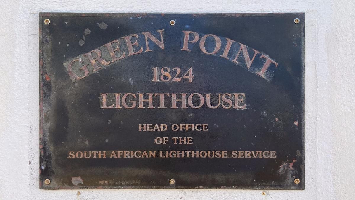
To avoid any major disappointment in advance, there’s no trophy or medal* ceremony. Just the satisfaction of having cycled across the Cape Peninsula, between two famous light houses - Cape Point - the South Eastern most point and Green Point - the north western most point - in one day... that's what it's all about!
That said, if you upload your result to the Wall of Fame, and choose to participate in the Challengerboard, we can make a plan to send you a commemorative badge to remind you of your great achievement. Upload your achievement to find out more...And that's not all... once you've done all 3 POINT2POINT challenge routes, you qualify for a the coveted triple achievers badge and we’ll make sure you get that shipped to you free as a token of our appreciation!So, who's up for the Challenge ?The Challenges in detail
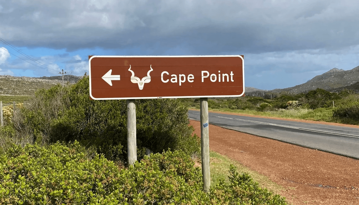
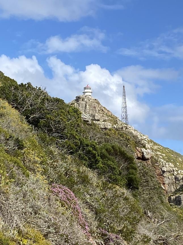
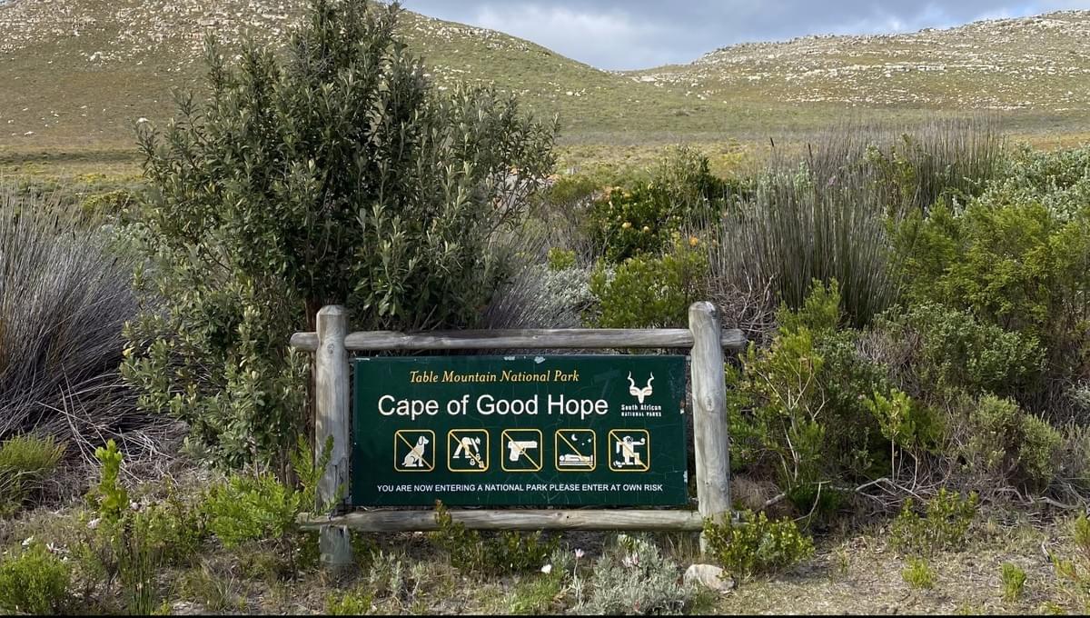
 The POINT2POINT Challenge MTB starts from the Cape Point car park within the Cape of Good Hope Section of the Table Mountain National Park, in the shadows of the towering the Cape Point Light House.
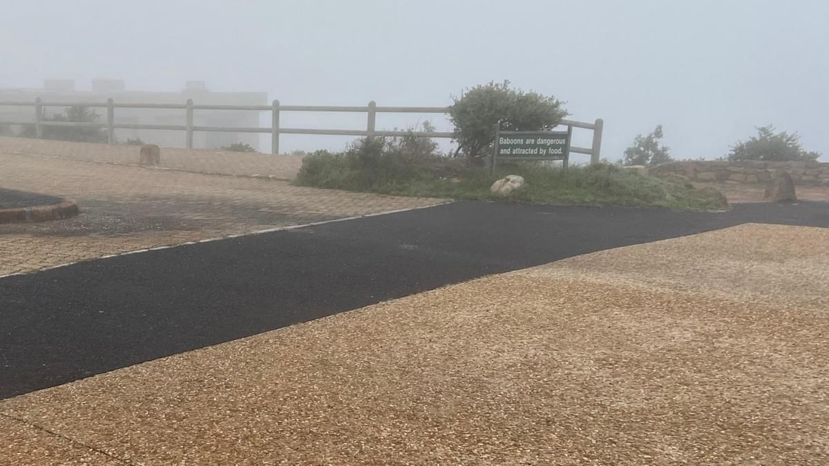
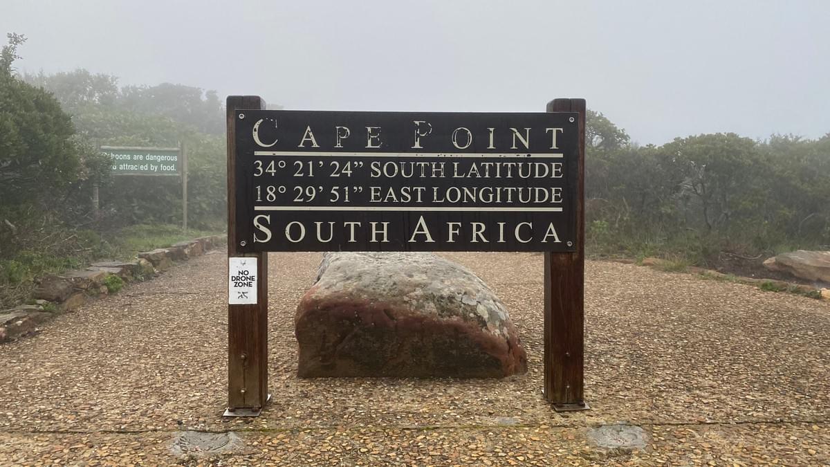

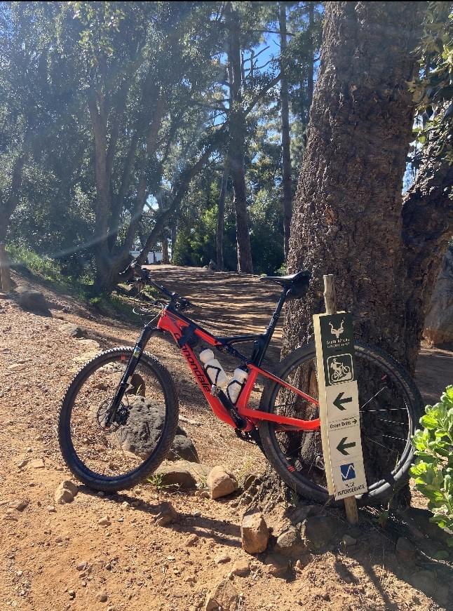
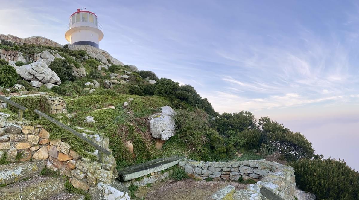
 The start line is the speed hump after the broad tar section (in the picture along side).
Start your STRAVA app on your cyclometer/phone as you cross the speed hump in order to register your achievement against the first of 10 (!) segments . Then....- Out of the car park and heading north, returning on Cape of Good Hope Drive back to the Park gate.
- At the gate, exit Park and pass through the circle. Turn left onto Plateau Street (M65) direction Scarborough/Kommetjie
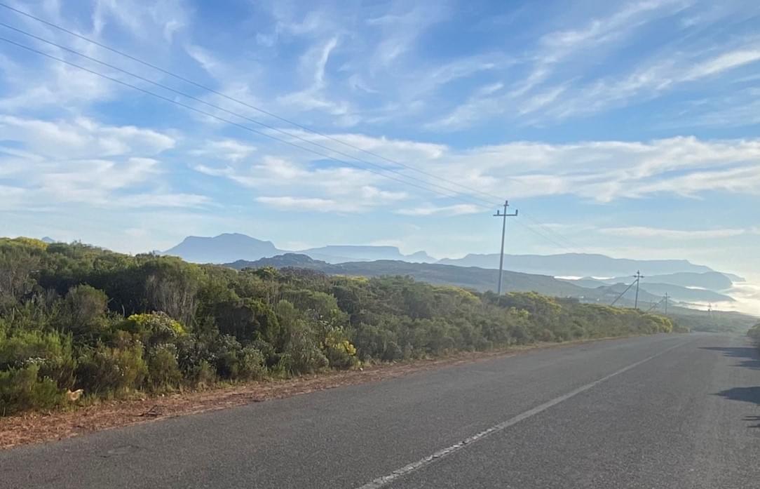
- Proceed on the M65 for 9 kms and take Red Hill Road turn off.
- Climb Red Hill, and at Pine Haven (approx. 25km into your Challenge) turn left direction Lewis Gay Dam
- After approx 3 kms, proceed off the tar onto the gravel road and pass the Lewis Gay dam on your left.
- Continue north east on the MTB marked single track in the direction of Glen Cairn
- After approximately 5 kms you will come out at the top Glencairn Expressway(M6). Turn left.
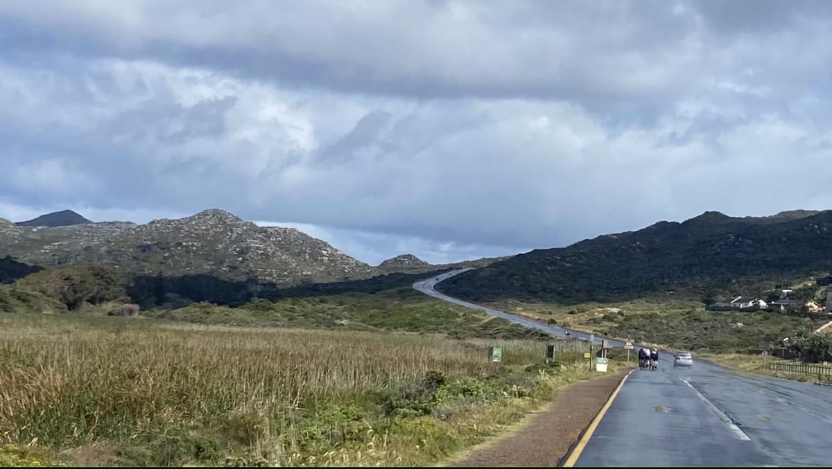
- Continue down the Glencairn Expressway, through the 4 way stop on to Ou Kaapse Weg Road (M64).
- Just after turn off to Silvermine road on your left, take the Ou Wa Pad road into the Silvermine Nature Reserve section of Table Mountain National Park
- Follow the trail for approx. 6 kms until you reach the main entrance to the Silvermine Nature Reserve.
- Turn left towards the mast and proceed up Silvermine Reservoir Road for approx 1.5kms and then turn right descend into the Tokai MTB trails section (commencing at Level 5).
- Descend 'The Beast' and then onto the 'Snake Trails' The Boulders route is not on this route.
- Follow the Snake trails to the end of the Tokai MTB trails, exiting into Tokai Road.
- Continue down Tokai Road and at the intersection turn left into Orpen Road and then Right onto Dennedal Avenue, to access the path along the perimeter of the eastern section of Tokai Forest.
- Enter the M3 Green Belt section
- Continue along the Green Belt section until you emerge at Peddlars & Co... continue on Brounger Lane and then onto Green belt single track to the right.
- Continue until you reach Constantia Road and cross at the pedestrian crossing onto the Silverhurst Trail.
- Proceed up the green belt, cross over the river into Silverhurst Avenue and proceed to Southern Cross Drive.
- On Southern Cross Drive, turn right to access the lane that joins Southern Cross to Picardie Avenue.
- Continue north on Picardie Avenue, cross Rathfelder Avenue and ride the single track around Brommersvlei Wetland Park.
- Across the Wetland, get back on to Rathfelder Avenue, heading right and then left into Beauvais Avenue
- At the end of Beauvauis Avenue, turn left onto the Diep Rivier Trail.
- Continue on the Diepriver Trail, crossing Belombre Road where you will enter the Alphen Trail. Continue on the single track all the way to Southern Cross Drive Rhodes avenue intersection.
- Exiting the single track follow Southern Cross Drive to Rhodes Drive where you cross over and re enter Table Mountain National Park, Cecelia Forest section.
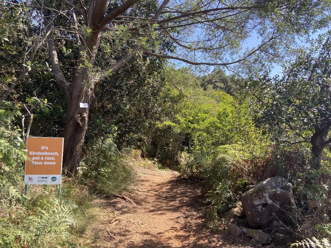
Continue up the Contour path and direction Constantia Nek and then switch back onto the Kirstenbosch loop. - Take the Kirstenbosch loop Mountain Biking Trail (approx 8km) above Kirstenbosch and descend to Union Avenue (M3) .
- On exiting the Park at Union Avenue, ride on the bicycle track (approx 2 km) to the gate to Rhodes Memorial.
- As this road is closed to vehicular traffic, you will need to portage your bike over the pedestrian turnstile and once inside, proceed up the single track on the left (immediately after the main gate) . This will bring you back onto the tar at the top of the 2 minute tar section!
- Continue on the tar for approx. 1 km until you see the dirt road turn off to Tafelberg Road Route (originating above UCT). Continue with this route and proceed to climb to Tafelberg Road (Do not go to the Block House unless you would like to ride the additional distance and complete the additional climb!)
- Proceed on Tafelberg Road past the Cable station and down to Camps Bay Drive traffic circle.
- Proceed through the circle and onto Signal Hill Drive.
- After approx. 1.5 kms head left onto the marked MTB single track down to Sea Point (Lion's Head Path).
- Once you have completed your desent you will arrive in Top Road
- Descend from Top Road to Ocean View drive and turn right.
- Proceed on Ocean View Drive for approx. 2.5 kms reach Glengariff Road. Turn left.
- Descend Glengariff Road through the Main Road intersection onto Three Anchor Bay Road and then right onto Beach Road.
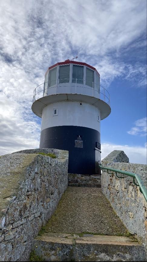
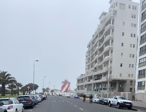
- Follow Beach Road left and the Green Point Lighthouse will be 700 m ahead of you.
- Cross the tar strip directly in line with the Green Point Light House and touch the Green Point Lighthouse sign.
You have completed the POINT2POINT Challenge MTB!Be sure to stop your cyclometer/STRAVA and save this file. Also take a screenshot of your STRAVA reading in preparation for uploading this to the POINT2POINT Wall of Fame.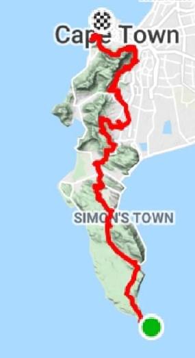

#capetownsmostbeautifulcyclingchallenge
Getting Started
Add paragraph text here.
Useful Information
Add paragraph text here.
Add paragraph text here.
Add paragraph text here.
Add paragraph text here.
Add paragraph text here.
Add paragraph text here.
#capetownsmostbeautifulcyclingchallenge
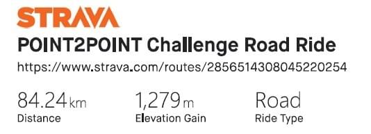
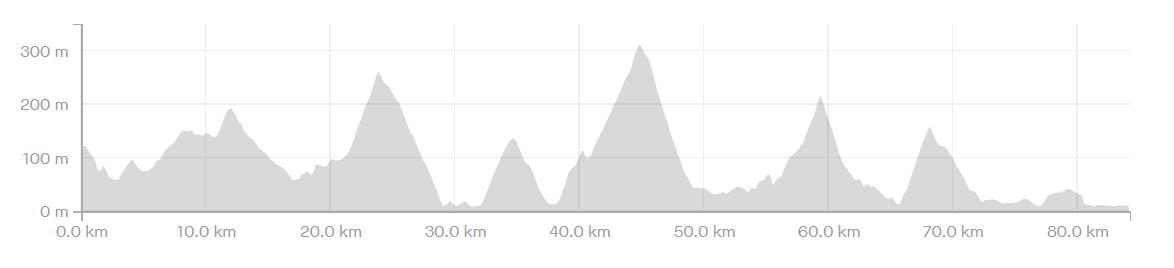
The POINT2POINT Challenge Road Route
The start is as per the POINT2POINT Challenge MTB, from the southern most car park within the Cape of Good Hope Section of the Table Mountain National Park (Cape Point)
The start line is the broad tar section (in the picture along side)
Start your cyclometer/STRAVA app as you cross this tarred section.
The ROAD route- Out of the car park and heading north, returning on Cape of Good Hope Drive back to the Park gate.
- At the gate, exit Park and pass through the circle. Turn left onto Plateau Street (M65) direction Scarborough/ Kommetjie.
- Proceed on the M65 for 9 kms and take Red Hill Road turn off.
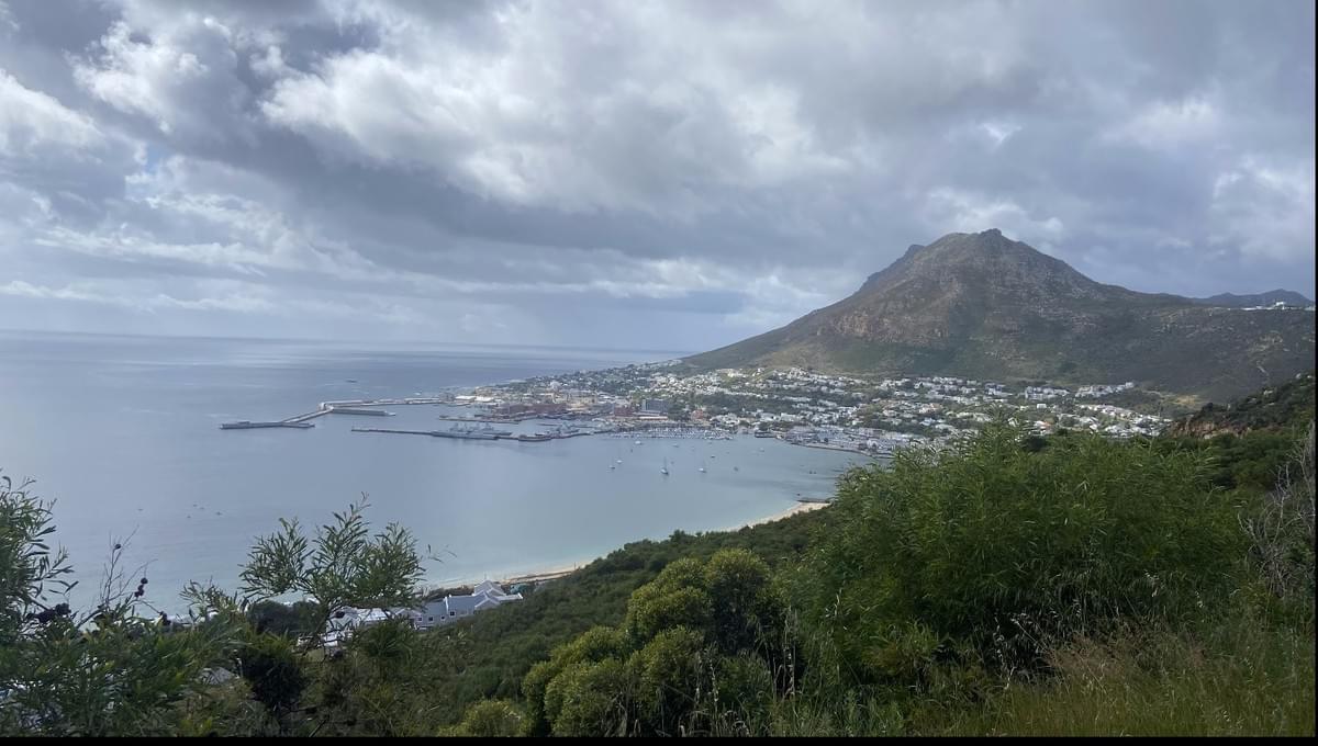
- Climb Red Hill, pass Pine Haven and descend into Simonstown.
- After 8 kms turn left onto Main Road (M4) direction Fish Hoek.
- After 9 kms turn left onto Glencairn Expressway (M6) and ascend Black Hill
- Descend into Sun Valley and through the 4 Way stop.
- Continue on to Ou Kaapse Weg (M64) direction Tokai
- Descend Ou Kaapse Weg and take the Steenberg Road (M42) offramp.
- Continue on the M42 through the Steenberg Village shopping centre traffic circle until you reach the Tokai Road traffic circle.
- Proceed on with Orpen Road (continuation of the M42) passing Firgrove Way on your left. Orpen Road becomes Spaanschemate River Road from that point.
- Continue for 500m and turn left into Nova Constantia Road
- Turn right onto Klein Constantia Road and first left into Pagasvlei Road.
- Continue on Pagasvlei road to Constantia Main Road (M41) and turn left
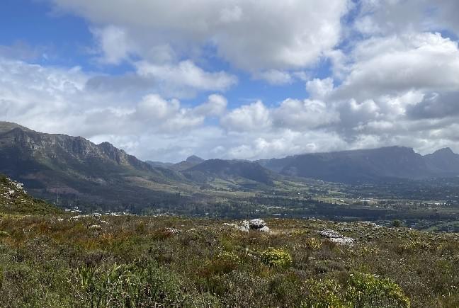
- Continue on Constantia Road up to Constantia Nek circle and proceed onto Hout Bay Main Road (M63)
- Continue for 2.7 kms turning right onto Disa River Road
- at the intersection turn left onto Valley Road.
- Continue on Valley Road.
- At the traffic circle turn right onto Victoria Road and continue onto Victoria Road (M6) direction Cape Town (up Suikerbossie)
- Continue on M6 passing Llandudno, Oudekraal, Bakoven, Camps Bay, Clifton, Bantry Bay (approximately 15 ks) and after passing the Ambassador Hotel on your left, turn left onto Seacliffe Road.
- Turn right onto Beach Road (M6) and continue to the intersection with Beach Road. Turn left and the Green Point Lighthouse will be 400 m in front of you.
- Cross the tar strip directly in line with the Green Point Light House.
You have completed the Point2Point ROAD Challenge!Be sure to stop your cyclometer/STRAVA and save this file. Also take a screenshot of your STRAVA reading in preparation for uploading this to the POINT2POINT Challenge ROAD Wall of Fame.
Useful Information
Add paragraph text here.
#capetownsmostbeautifulcyclingchallenge!
The POINT2POINT Challenge LITE Route
The start is as per the POINT2POINT Challenge MTB and ROAD , from the southern most car park within the Cape of Good Hope Section of the Table Mountain National Park (Cape Point).
The start line is the broad tar section (in the picture along side). Start your cyclometer/STRAVA app as you cross this tarred section.
The LITE route
- Out of the car park return on Cape of Good Hope Drive back to the Park gate.
- At the gate, exit Park and pass through the circle. Turn left onto Plateau Street (M65) direction Scarborough/ Kommetjie.
- Proceed on the M65 for 9 kms and take Red Hill Road turn off.
- Climb Red Hill, pass Pine Haven and descend into Simonstown.
- After 8 kms turn left onto Main Road (M4) direction Fish Hoek.
- After 9 kms turn left onto Glencairn Expressway (M6) and ascend Black Hill
- Descend into Sun Valley and through the 4 Way stop and continue on to Ou Kaapse Weg (M64)
- At the second traffic intersection turn left onto Noordhoek Main Road (M6).
- Continue on Noordhoek Main Road which will become Chapmans Peak Drive (M6)
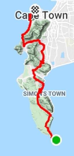
- Ascend Chapmans Peak, descend into Hout Bay and continue on the M6 which will become Hout Bay Main Road. At the traffic circle, turn left into Princess Street
- In approx. 1 km, at the traffic circle, turn right onto Victoria Avenue.
- Continue up Victoria Avenue for approx. 1.3 km and proceed through the intersection where Victoria Avenue will become Victoria Road (M6).
- Continue with Victoria Road (M6) direction Cape Town (up Suikerbossie)
- Continue on M6 passing Llandudno, Oudekraal, Bakoven, Camps Bay, Clifton, Bantry Bay (approximately 15 ks) and after passing the Ambassador Hotel on your left, turn left onto Seacliffe Road.
- Turn right onto Beach Road (M6) and continue to the intersection with Beach Road. Turn left and the Green Point Lighthouse will be 400 m in front of you.
- Cross the tar strip directly in line with the Green Point Lighthouse.
You have completed the Point2Point LITE Challenge!
Be sure to stop your cyclometer/STRAVA and save this file. Also take a screenshot of your STRAVA reading in preparation for uploading this to the POINT2POINT Challenge ROAD Wall of Fame.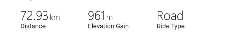
Useful Information
Add paragraph text here.
#capetownsmostbeautifulcyclingchallenge